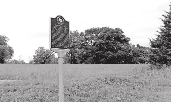
Cherokee Trace
This Indian trading route to Arkansas and Oklahoma was laid out by Cherikees. A tribesman with a keen sense of direction pulled buffalo hides behind his horse to press down the tall grass. Groups of Indians followed blazing the trail, removing logs and underbrush, and marking fords. Others located springs and good camping places. After the road was established the Cherokees planted roses and honeysuckle which still mark the old trace. After the Indians were driven out, settlers came into Texas by this route. The first residents in Camp County lived on the trail. (1979) --Historical Marker
The trail ran from the vicinity of Nacogdoches north through Northeast Texas including present-day Gregg, Upshur, and Camp counties. The road then crossed Big Cypress Creek into Titus County near the historic location of Fort Sherman and continued north to Indian settlements in Oklahoma and Arkansas. Serving as a travel and trading route for East Texas Indians, the trail also enabled the migration of many settlers into Texas. Popular tradition holds that Sam Houston, David Crockett, and other participants in the Texas Revolution first crossed the Red River into Texas on the Cherokee Trace. Early land grant surveys of the 1830s and 1840s mention the trail as a landmark and also reference roads that subsequently evolved from this route such as the Fort Towson Road and Clarksville-Nacogdoches Road. In 1839, after their defeat at the battle of the Neches, many Cherokees fled Texas on this trail. Remnants of the old Cherokee Trace along with hedgerows of roses can still be found in Northeast Texas today. --Texas State Historical Association

